
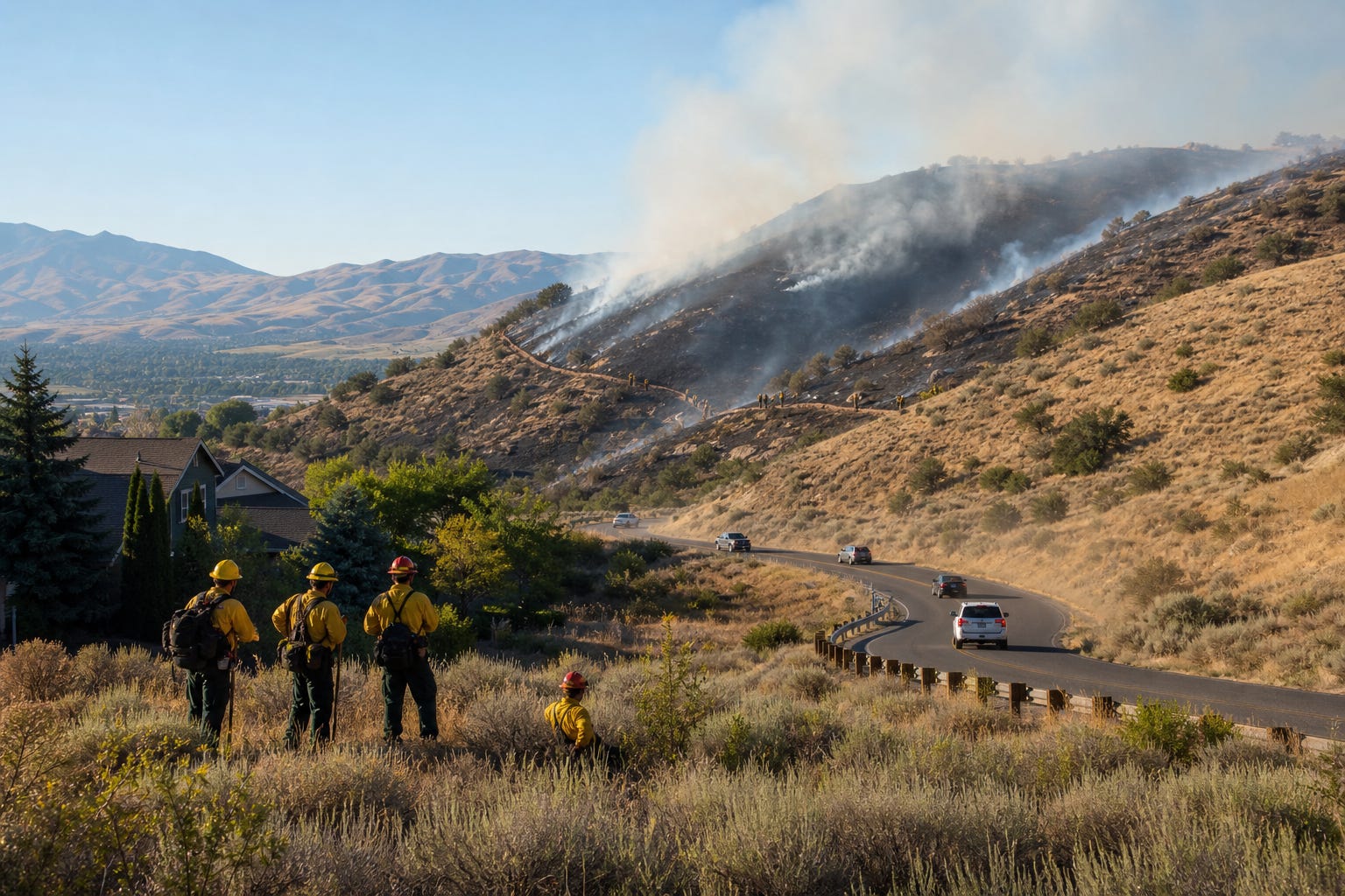
The Claremont Fire has turned a fast-moving blaze in the Boise Foothills into a public-safety test for neighborhoods, trail users and fire crews. By Wednesday morning, officials put the fire at about 4,800 acres, with Boise County evacuation orders still active and containment projected for Sunday evening.
Evacuation orders moved into Boise County
The strongest warning was in the Rocky Canyon area, where the Boise County Sheriff's Office moved zone RC-06 to Level 3, or Go. Residents leaving the area were told to head toward the highway rather than Ridge Road.
Tollgate-area zones RC-01, RC-02 and RC-04 remained at Level 2, or Set, which means residents should be packed and ready to leave quickly if conditions change. The Red Cross opened an evacuation shelter at Eagle Christian Church's Surprise Valley campus in Boise, and the Idaho City Rodeo Grounds was made available for livestock.
That is the practical edge of this fire. It is families loading vehicles, ranchers thinking about animals, trail users being cleared out and firefighters trying to keep flames away from homes while roads and ridgelines change by the hour.
Crews strengthened the line overnight
Fire crews worked through Tuesday night and reported significant progress by Wednesday morning. Wildland fire officials said a burnout operation from Boise Ridge Road to Rocky Canyon Road strengthened part of the containment line. The day's work was expected to focus on holding those lines, mopping up hot spots and securing the areas where burnout work had been done.
The first city update on Monday put the fire near 2,000 acres northeast of North Claremont Drive. Boise Fire said the initial call came in around 1:30 p.m., crews responded with a large multi-unit response and several structures that were threatened early in the incident were no longer considered threatened at that point.
The city also used Wireless Emergency Alerts and CodeRED notifications to tell people to stay away from the area, including the Hulls Gulch Trail System, the Military Reserve trail network and Mountain Cove Road. Boise Fire said multiple aircraft were assisting crews and that the department was working in unified command with the Bureau of Land Management as the fire moved farther onto BLM land.
Old hazards made the fight harder
One complication is not obvious from a distance. Boise Fire said parts of the Military Reserve still contain unexploded military ordnance from the area's historic training use, which limits where firefighters can safely go. That forced crews to work with partner agencies and adjust suppression tactics around ground they could not simply walk into.
Officials also warned that wildfire conditions remain elevated, with extremely dry foothills and vegetation that can move fire quickly. The Boise National Forest alerts page listed very high fire danger for the Snake River and Foothills area and high fire danger in the Boise Mountains.
That is why this story carries a public-order lesson beyond one incident map. In the foothills, one careless spark can become a taxpayer response, a property threat and a county evacuation problem within hours. Local control only works when the public does its part: stay out of closed areas, obey alerts, avoid spark-producing activity and give crews room to work.
The next test is holding ground
If the containment projection holds, the Claremont Fire could be contained by Sunday evening. Until then, the important number is not just acres burned. It is whether crews can keep the line intact, whether evacuated residents can return safely and whether the next dry afternoon brings another ignition.
The foothills are one of Boise's defining features. Keeping them safe is not just a fire-agency job. It is a local discipline job.